
Book Info
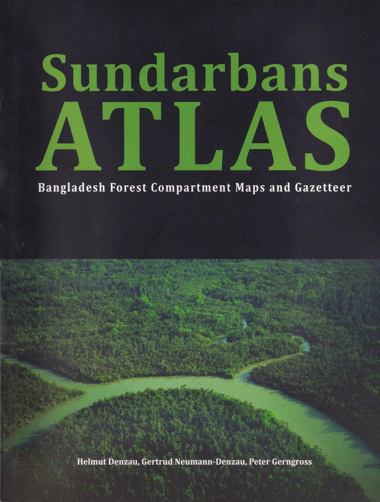
The Sundarbans mangrove forest is the largest continuous mangrove forest in the world. The area covers 10,284 sq.km, of which 58.5% lies in Bangladesh and 41.5% in India. We have visited the Sundarbans mangrove forest in India as well as in Bangladesh since 1989. We also dealt with the Human - Tiger Conflict (Neumann Denzau, Denzau, 2010a, 2010b). In the evaluation of numerous sources that reported Human - Tiger incidents in the Sundarban Reserved Forest (SRF). we have frequently observed that problems appeared concerning the location of the places of incidents. Several reports, especially in newspapers, used names of creeks that could not be associated with any location. In different reports about the same incident different place names were mentioned, often obviously distorted by oral transmission or by ignorance. We have therefore begun to compile a list of names of large and small waterways of the Sundarbans of Bangladesh from different maps and have connected these names with information about the location. This list was made into an Index-Gazetteer arranged in alphabetical order. What was at first intended only for our personal use, we were able to expand through several maps by Peter Gerngross. Now the Sundarbans Atlas in hand is intended for users like conservationists, scientists, employees of the Forest Department, law-enforcing and other authorities, tourists, tourist companies, journalists, NGOs and legal resource users. How did we proceed? As a basemap a NASA satellite image of the Sundarbans was used. The image was created by Jesse Allen, Earth Observatory, using data obtained from the University of Maryland's Global Land Cover Facility (2008). Coastlines and waterways of the Sundarbans of Bangladesh and India were manually vectorized using this NASA satellite image as a basis for our maps. The Government of Bengal, Calcutta, published the "Working Plan for the Forests of the Sundarbans Division, Vol. 1, 2 and 3, by S.J. Curtis, Deputy Conservator of Forests in 1933-1934 Vol.2 includes 75 Compartment Maps in the Appendix III. Today compartments 1-55 are part of Bangladesh Sundarbans, compartments 56-75 of Indian Sundarbans. Curtis' work has to be valued as milestone for mapping the Sundarbans (scale 1 inch 1 mile). It was the source of inspiration and an important source of information for our Sundarbans Atlas. The following additional maps of the Bangladesh Sundarbans were examined: Forest types maps 1: 50,000 from 1985 (10 sheets). These maps contain only a few names of smaller watercourses such as creeks and no Forest Department Bases Forest types maps 1:50,000 from 1997 (15 sheets). These maps contain a lot of errors Several Forest Department Bases are located in the wrong place, others are not included. These maps were not used because the edition of 2002 is a much improved version. Forest types maps 1:50,000 from 2002 (10 sheets), abbreviated D2002. Sundarbans Reserved Forest Map 1: 200,000 from 2002 (1 sheet), abbreviated B2002. The names of waterways were extracted mainly from Curtis Maps 1934, D2002 and B2002 as well as some maps of various Forest Patrol Posts. The Forest Department Bases (Range Offices, Forest Stations, Patrol Posts, Wildlife Sanctuary Headquarters) from D2002 and B2002 were included in our map as either Forest Stations or Patrol Posts.


RELATED BOOKS
GET THE LATEST NEWS FROM US!
We Never Spam Your Inbox!